The archaeological site of the MONTESEI DI SERSO
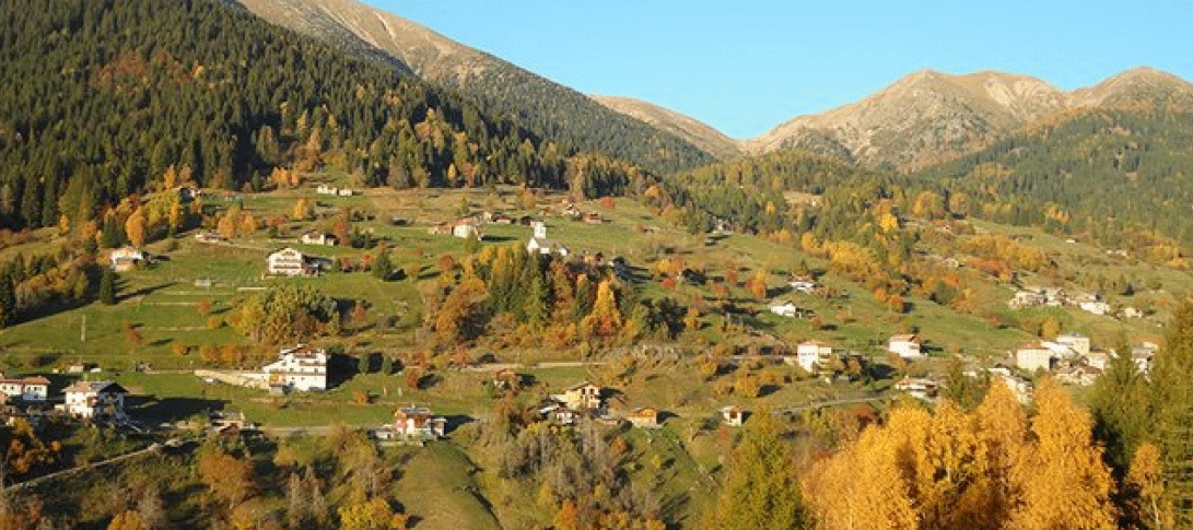
The route starts from the hydroelectric power station of Serso and climbs steeply for about 400 metres along the course of the Rio Nero. It then reaches the Montesei di Serso archaeological site, where the remains of four Rhaetian dwellings can be admired. The path then rejoins the main road. Continuing on, you come to the Church of Brazzaniga and then, following the embankment of the Fersina river, to the Serso bridge, which is about 100 m from the hydroelectric power station, the starting point. The route is also ideal for snowshoeing.
Departure: Serso hydroelectric power station (hamlet of Pergine)
Length: about 2.4 kilometres
Time required: 1 hour
Difficulty: medium-easy
THE FAIRY PATH
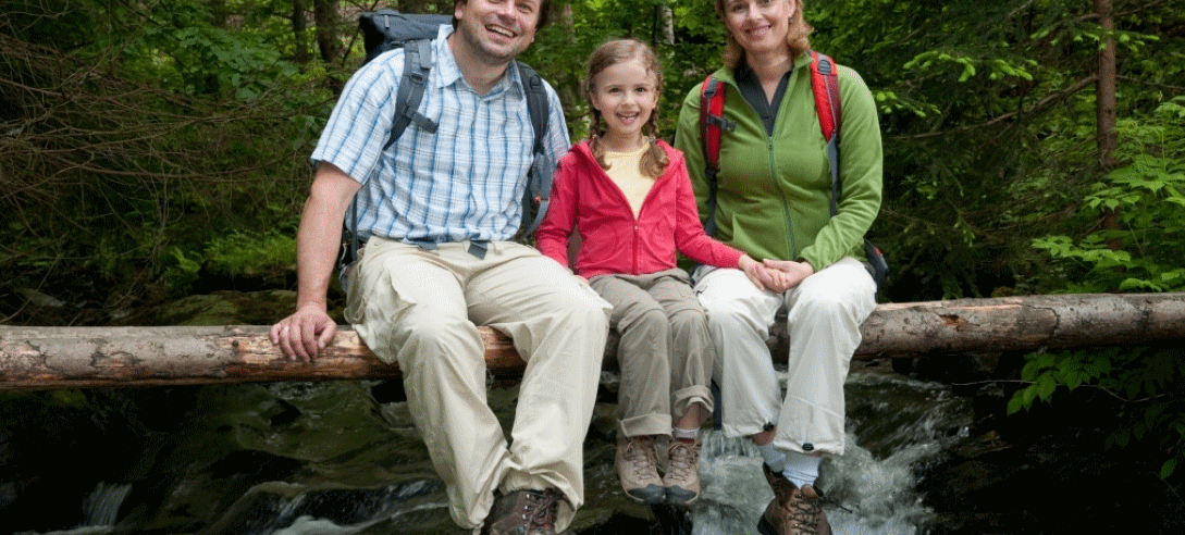
A walk in the woods along this path will make you feel immersed in an enchanted atmosphere. Ideal for families and all children. The route is also suitable for prams. The itinerary is a circular route that starts from the Pietra Viva Museum and goes down along the Fersina river.
Departure: Pietra Viva Museum
Difference in height: 100 m
Time required: 30 minutes
Difficulty level: easy
MASI ALTI DI PALU’

Once you have reached Battisti in the municipality of Palù del Fersina, you will see a group of houses, called masi in the locality Tasaineri, and from here, along path E 314, you will pass by the masi Plunebe and Ficaren, which are located at an altitude of 1546 m, to then reach the locality Tolleri, from which you can return towards the locality Battisti. This route is perfect for those who are interested in discovering the masi of the Valle dei Mocheni, crossing them on foot or with snowshoes to observe these magnificent clusters of houses from the past.
Departure: Loc. Battisti – Palù/Palae
Difference in height: 100 m
Time required: 2 hours
Difficulty level: easy
ROUTE ALONG THE FERSINA
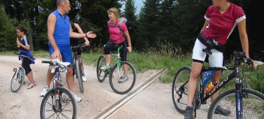
As well as the possibility of having a picnic, along the Fersina you can follow a mountain bike route to admire the historical beauties of the Valle dei Mocheni, such as the old Venetian sawmill, traces of mine work and a mill. The starting point is the church of Sant’Orsola, although there’s really no fixed starting point. We then pass the Camper parking area and reach the locality of Clom along an asphalt road, where the sawmill is located. The hamlet of Masetti is another possible starting point, then take the direction of Pompermaier and descend along the river.
Start: Church of Sant’Orsola Terme
Difference in height: 250 m
Time required: half a day
Difficulty level: medium-easy
SMALL FRUITS TRAIL
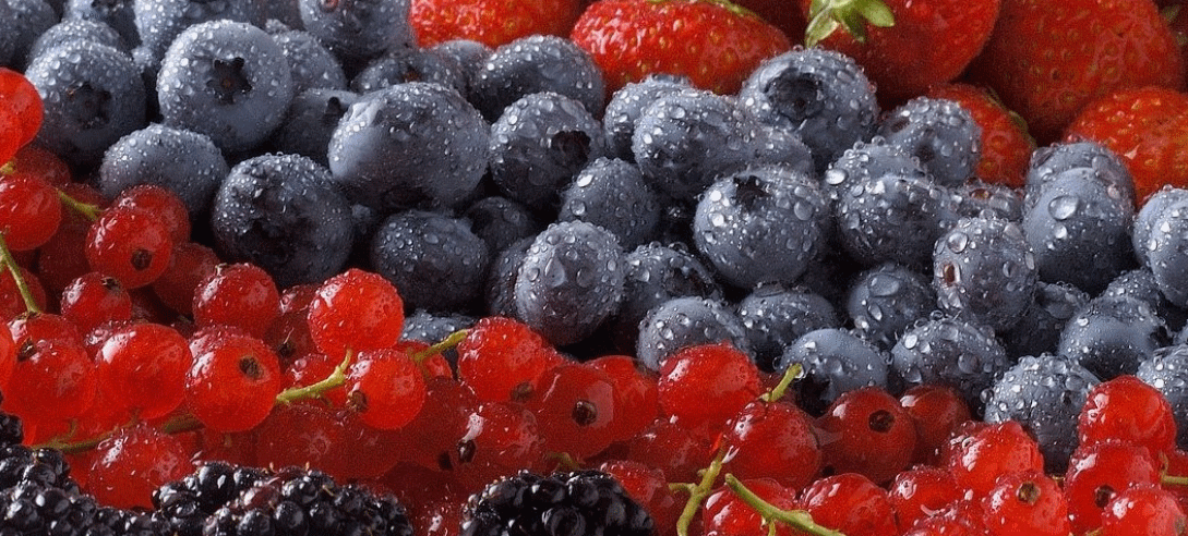
The itinerary takes us to discover the Valle dei Mocheni, the valley that has been able to maintain, over the years, a strong and solid cultural tradition that has given it a particular identity. In addition to the naturalistic and landscape beauties, the route will lead us to discover, along the valley, the cultivation of “small fruits”: strawberries, cherries, blueberries and blackberries. Starting from Sant’Orsola Terme we descend towards Canezza and then continue in the direction of Frassilongo. In the direction of Palù del Fersina you pass through San Felice and Hacleri, before reaching Palù del Fersina. Who knows, you might find some wild fruit to taste!
Departure: Sant’Orsola Terme
Difference in height: 700 m
Time required: 2 h
Difficulty level: easy
SETTE SELLE REFUGE
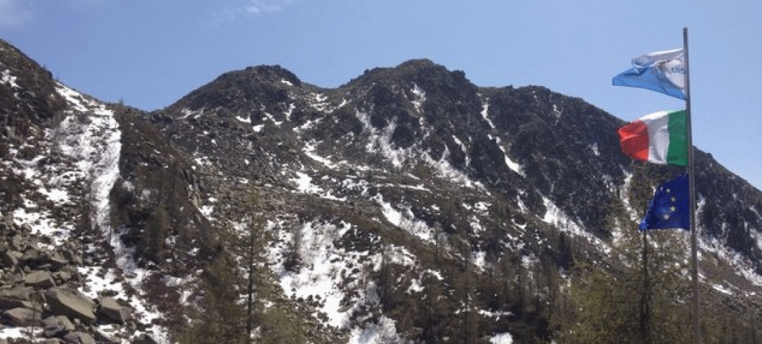
The Sette Selle Refuge is located in Val Laner, in the upper Valle dei Mocheni, in a magnificent position which is one of the best access points for excursions in the south-western Lagorai.
Once you have reached Frotten di Palù del Fersina, follow path no. 325, then take path no. E 343 B, and then path no. E 343 E is open from 20.6 to 20.9 and generally at weekends. An interesting loop trail starting at Frotten connects it to the Refuge Lake Erdemolo, which can be an interesting route back following trail E 324. Path E 343, suitable only for experts, allows you to observe the places of the film “La Prima Neve”.
Start: Frotten
Difference in height: 450 m
Time required: half day
Difficulty level: medium
LAKE ERDEMOLO
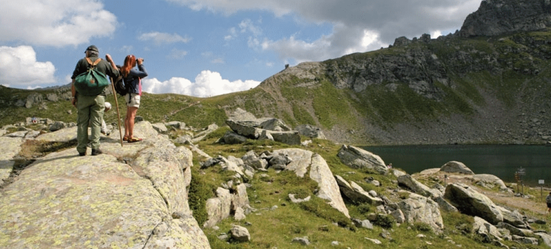
The queen of excursions in the Valle dei Mocheni is certainly the ascent to Lake Erdemolo. In order to reach an altitude of 2005m, you cross paths through the woods, clearings and alpine pastures surrounded by unspoilt nature. In June you can witness the wonderful flowering of the mountain rhododendrons, which colours the slopes deep pink and perfumes the air. In high summer, the small mountain lake is partly covered with snow and ice, allowing the water to maintain a very low temperature, ideal for refreshing foot baths and short Kneipp dips.
Starting point: Frotten, Palù del Fersina
Difference in height: 460 m
Time required: half a day
Difficulty level: medium
VALLE DEI MOCHENI ALPINE PASTURE
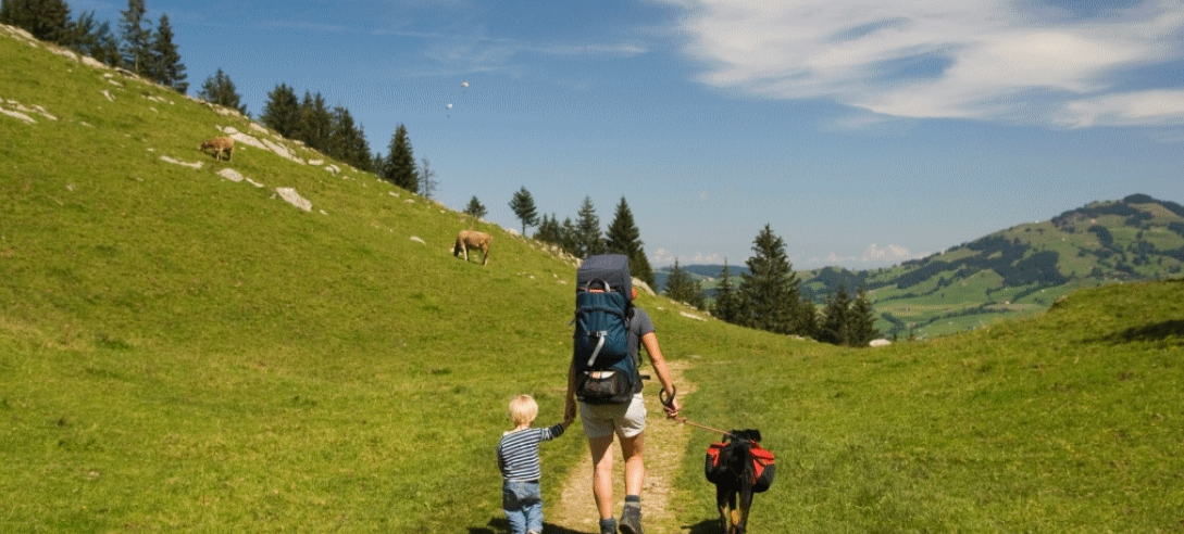
A suggestive route to discover the meadows that are still the protagonists of the mountain pastures. Leaving from Plotzeri, you can also continue by car to Kiserech, and follow a ring-route among the Mocheni nature in all its beauty.
Departure: Plotzeri (Fierozzo)
Difference in height: 190 m
Suitability: on foot – by bike
Time required: half a day
Difficulty level: easy
TOUR OF THE MASI ALTI SANT’ORSOLA
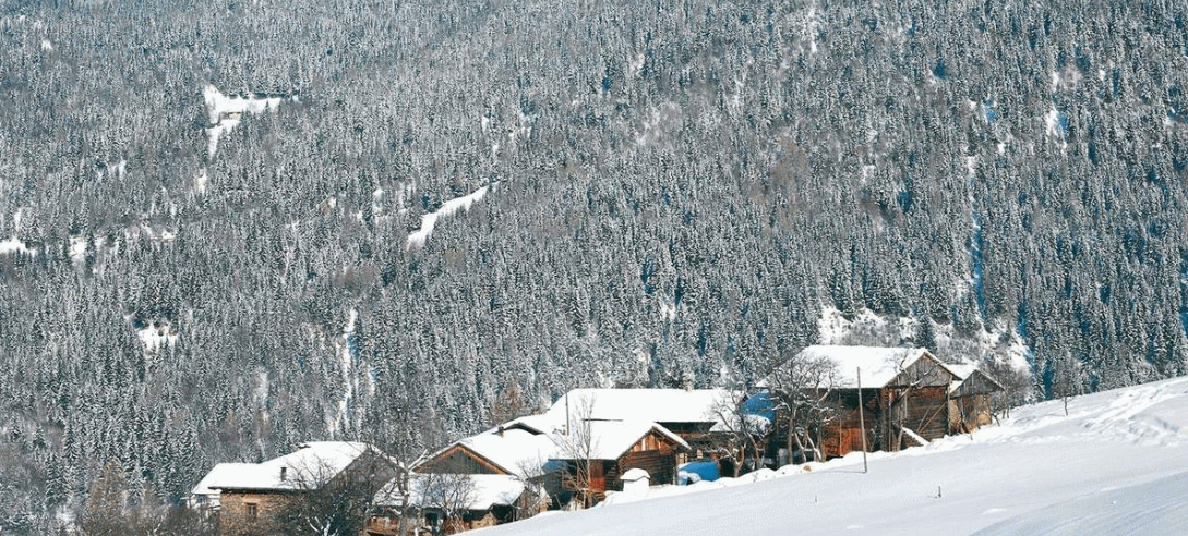
The tour of the Masi alti of Sant’Orsola is a route of medium difficulty, ideal for mushroom picking during the autumn season in Valle dei Mocheni. Starting from the centre of Sant’Orsola Terme, you will first reach the locality of Gheghe and then Castello. After Maso Broli, at the fork for the more adventurous, it will be possible to take the long route to the right. If you continue straight ahead, you will end the route.
The masi (farmsteads) you will encounter on the long route are Maso Batistoni and Maso Moretti, whose heights offer a view over the valley. After descending to Madonna della Fonte, take a winding path to Maso Broli.
The Broli hamlet, on the other hand, is easily reached from the long route by crossing two streams.
On the way back, you can either descend via the “Predaroneri” or stay on the municipal road and walk down to the centre of Sant’Orsola.
Start: Sant’Orsola
Difference in height: 200 m
Time required: Short route: 1 hour – Long route: 2 hours
Difficulty: medium-easy
MASO TON
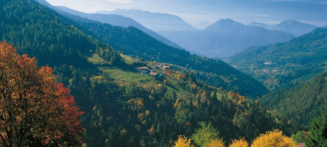
The starting point is the church in Kamaovrount towards Tingherla, then on to the hamlet of Pein. Here you turn left in the direction of Maso Ton. You will have an enchanting view of the Alta Valsugana mountains as you pass through the wonderful larch forests. After Maso Ton, you can also reach Kamauz on a flat road with a possible stop at the Roveda mill.
Departure: Kamaovrount
Difference in height: 200 m
Time required: half a day
Difficulty: medium-easy
PALU’ PEAK – MOUNT CONCA
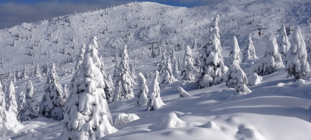
Cima Palù 2261m can be reached by means of an easy and panoramic ring-route. It takes place for the most part along ridges and therefore does not present difficulties. The proposed itinerary takes place mainly along the ridge that separates the upper Val dei Mocheni from Val Calamento, passing through three passes over 2000 metres: Passo dei Garofani, Passo di Palù and Passo Cagnon di Sopra. The highest point of this excursion is Cima Conca (2301 m). The itinerary can be walked in both directions: a “strategic” resting place is the Sette Selle Refuge for a good meal!
Before the fork for Rifugio Sette Selle, in the Battisti locality, there will be a place to leave your car. Follow path E 370, and you will reach Maso Baito dell’Orso, Mas del Bepi and then Maso Ausertol. After about an hour and a half with notable points of interest, such as the views over the whole valley, you reach Passo Palù and then Cima Palù via path E 340. Continue towards the panoramic Monte Conca. Keeping to path E 340, you reach Passo Cagnon, Passo Val del Mattio and, continuing to the left, you reach the summit of Mount Rujoch, which offers splendid views and panoramas of the area. For the return journey, once back at Passo Cagnon, take path E 314 until you reach the starting point.
Departure: Battisti hamlet, junction for Rifugio Sette Selle
Difference in height: 1257 m
Time required: whole day
Difficulty: medium-high
MOUNT FRAVORT – MOUNT GRONLAIT
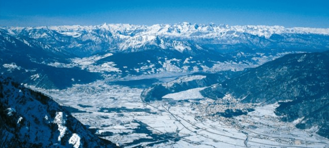
Mount Fravort is located behind Levico Terme and is known because it is the source of the thermal water of Levico Terme. Most of the route runs along an easy ridge. Start at the Kaserbisn Hitt and take the Kaiserjägerweg military road. Then follow path E 325 to the junction with the Great War route and finally reach Monte Fravort. An object of interest, once you have reached the summit, apart from the wonderful panorama, is the bivouac, which is completely camouflaged by the surrounding rocks and stones. Still on path E 325, where you will observe the trenches of the Great War, you will reach Monte Gronlait. You can return to the starting point by continuing towards Passo Portella, taking path E 371 to the magnificent Feldkapelle. If you wish, you can also decide to go back along the same route.
Departure: Kaserbisn Hitt
Difference in height: 974 m
Time required: full day
Difficulty level: medium
THE LAKES

LAKE LEVICO
Lake Levico is the second largest lake in Valsugana and one of the warmest lakes in southern Europe. Its waters are clear and the municipality of Levico Terme manages the lake in an environmentally sustainable way. This has led to Lake Levico being reconfirmed with the prestigious Blue Flag award from the Foundation for Environmental Education.
The lake is surrounded by green woods and a route that makes it ideal for regenerating walks. Levico Terme is also a renowned spa town, with restaurants offering typical menus and reinterpretations of traditional Trentino dishes.
Lake Levico is also an ideal place for fishing, thanks to the many species of fish that live there.
LAKE CALDONAZZO
Lake Caldonazzo is the largest lake among those that are entirely within the borders of Trentino. It is the only lake in the area where water skiing is permitted.
Like Lake Levico, it is one of the warmest in southern Europe and has earned the FEE Blue Flag recognition too. Along the lake there are free beaches and equipped establishments, restaurants and clubs where summer fun takes place. Lake Caldonazzo is a paradise for water sports in Trentino: water skiing, sailing, swimming, windsurfing and canoeing. It is also possible to go fishing.
ALTOPIANO DI PINÉ lakes
The Altopiano di Piné is located near the Valle dei Mocheni. With its two lakes, Lago della Serraia and Lago delle Piazze, it is the ideal destination for swimming and relaxing in the sun.
The two lakes are surrounded by a pedestrian promenade, characterised by very suggestive stretches immersed in wooded nature.
There are bars and restaurants on some of the beaches overlooking the lakes, making a stop here even more enjoyable.
TRENTINO GUEST CARD

TRENTINO GUEST CARD
All our guests will receive the Trentino Guest Card, for free, which will provide free access to many advantages in the area.
What is the TRENTINO GUEST CARD?
With this card, which will be issued free of charge at the check-in, you will have several advantages such as free entry to many museums and places of interest, discounts on tasting and purchase of local products, free public transport throughout the territory for the duration of your stay.
Our recommendations:
- the PIETRAVIVA Museum, just a few steps from us
- MUSE and Buonconsiglio Castle in Trento
- the MART and the Depero Foundation in Rovereto.


Restiamo in contatto